
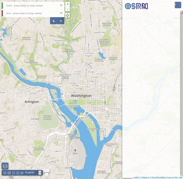
Comment créer une carte Open Street Map Vous avez déjà essayé de créer une carte personnalisée sur votre site ? Ce n’est pas toujours une partie de plaisir… Certains fournisseurs de map proposent des cartes très esthétiques, mais peu personnalisables, d’autres sont lourds à implémenter, bref, construire une carte à base d’open data peut être un parcours du combattant. Ce guide ne cherche pas à être exhaustif, il s’agit surtout d’un partage d’expérience, fort limité du fait que je ne suis pas un développeur ou mappeur professionnel. En revanche, je pense bien représenter le public non-codeur qui souhaiterait passer ces obstacles, et si cet article peut aider un débutant comme moi à trouver des ressources, des idées et des bouts de code pour parvenir à réaliser son objectif, alors cet article aura joué son rôle. N’hésitez pas à partager vos avis, critiques et conseils dans les commentaires ! Sommaire I. Commençons par voir quelques exemples de projets de carte basés sur OpenStreetMap : II. Umap. Open Mapquest. III. 1. 2. 3. 4.
OSM Buildings - A leightweight JavaScript library for visualizing 3D OSM building data on interactive maps Leslibraires.fr YourNavigation - Worldwide routing on OpenStreetMap data Fonds de cartes | Education Les fonds de cartes en téléchargement ci-après sont disponibles selon les termes de la licence ouverte Etalab. Il est simplement demandé aux utilisateurs d'apposer la mention IGN 2012 ou 2016 - Licence ouverte.Les fichiers au format pdf sont modifiables avec Adobe Illustrator CS5. - Fonds de cartes de la France métropolitaine - Fonds de cartes des départements d'outre-mer- Fonds de cartes de l'Europe Fonds de cartes de la France métropolitaine(Échelle : 1/5 400 000) Poster « Nouveau découpage des régions » Télécharger le fond de carte au format .jpg (8,6 Mo)Télécharger le fond de carte au format .ai (11 Mo)Télécharger le fond de carte au format .eps (28 Mo)Télécharger le fond de carte au format .pdf (12,5 Mo) La France, sans toponymes, avec contours de régions et de départements La France, sans toponymes et avec contours de régions La France, avec toponymes et contours de régions La France, sans toponymes et avec contours de départements La France, avec toponymes et contours de départements
u{Map} About us The management team Peter Miller, CEO and Co-Founder Peter has a track record of innovation in the development of real-time transport data standards. After a successful period as CTO of ACIS, he co-founded ITO World to realise his vision of smarter decision-making through innovative use of data. Peter is a strong supporter of open geo-data generally and long standing contributor and OpenStreetMap expert, leading the creation of tools that enable communities to collaborate around open data. He also contributes to a number of key data standards relating to sustainable transport in Europe and in the UK. Hal Bertram, CTO and Co-Founder Hal brings his unique talents from the Hollywood CGI industry to data visualization and analysis. Shane Reynolds, Operations Director Shane is one of the UK's foremost technical experts on transport data and combines system architecture prowess with user interface design. Dave Ladbrook, Commercial Director The team Peter Stoner, Data Manager Our Directors:
maps.stamen.com For over a decade, Stamen has been exploring cartography with our clients and in research. These maps are presented here for your enjoyment and use wherever you display OpenStreetMap data. Toner These high-contrast B+W (black and white) maps are featured in our Dotspotting project. They are perfect for data mashups and exploring river meanders and coastal zones. Available worldwide. Terrain Orient yourself with our terrain maps, featuring hill shading and natural vegetation colors. Available in the USA only. Watercolor Reminiscent of hand drawn maps, our watercolor maps apply raster effect area washes and organic edges over a paper texture to add warm pop to any map. Burning Map The roof, the roof, the roof is on fire! Requires a WebGL-enabled browser, such as Google Chrome. Mars?? Yes, Mars. Trees, Cabs & Crime Trees, Cabs & Crime started off as a weekend hack and ended up in the Venice Biennale. Available in San Francisco, California. JavaScript Libraries ModestMaps Leaflet OpenLayers Google Maps
List of OSM based Services Available languages — Alphabetically sorted complete list of projects using especially data from OpenStreetMap. For any page using just the OSM Map see OSM Internet Links. The term free materials is what you would colloquially refer to as "open". See also Free and Open License. General Art Some artistic maps using OSM data Biking, Geocaching, Hiking, Sport History, Archaeology, Monument Indoor See inside building Isochrone Isochrone#Examples Routing For just displaying GPS tracks, please have a look at Track drawing websites Services Export Offer OSM maps and -data to endconsumers Interaction Explore OSM data with more than just a slippy map and markers Compare Compare OSM maps with historic data or other commercial alternatives. See also: New and Changed Ways Edit Edit OSM data in a webbrowser. Accessibility for persons with disabilities Public Transport To see the OSM data on Public Transport Live/real-time edits to OSM data Quality Assurance - OSM Tool See also: Quality Assurance See also
PARCELLES Carte Knitter Bing Maps Welcome to the Bing Maps site on Microsoft Connect! Bing Maps is currently running the following public programs through this Website: Suggestions for Windows 8 Map App- Maps is one of the pre-installed apps that come with your new Windows 8 device. Let us know about the suggestions and ideas you have to make this an even greater app for you! Remember to regularly check for updates on the Microsoft Store App. Bing Map App SDK- With the Bing Map App SDK, you can now create your own map apps built on top of Bing Maps and hosted on bing.com. Bing Maps Silverlight Control Extended Modes Beta- As part of this program you will have access to a set of 'dlls and help files to enable you to add the Silverlight-based Enhanced Bird's-eye and Streetside experiences to your Bing Maps application. If you have received an invitation to participate in a program and you have already accepted the invitation please sign in with your Windows Live Id. Thanks! Bing Maps Team
De Cartagena