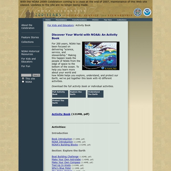
background preloader

200th Activity Book

200th Activity Book
For 200 years, NOAA has been focused on delivering "science, service, and stewardship." Making this happen leads the people of NOAA from the edge of space to the bottom of the ocean. To help you learn more about your world and how NOAA helps you explore, understand, and protect our Earth, we've put together this book with 43 different activities. Download the full activity book or individual activities. Activity Book (121MB, pdf) Activities: Introduction Book Introduction (7.18MB, pdf) NOAA Introduction (2.23MB, pdf) NOAA’s Building Blocks (3.62MB, pdf) Section: Explore the Earth Section: Understand The Earth Follow That Hurricane (4.38MB, pdf) Build Your Own Weather Station (1.56MB, pdf) Be A Citizen Weather Reporter (682KB, pdf) Tornado In A Bottle (1.33MB, pdf) Be A Tree Ring Detective (1.98MB, pdf) Your Own El Nino (1.22MB, pdf) Please Pass The Salt (1.65MB, pdf) Satellite Communications (2.27MB, pdf) Wooly Magma (1.64MB, pdf) Survey Mark Hunting (1.91MB, pdf) Section: Protect The Earth

American Geosciences Institute - Serving the Geosciences Since 1948 © 2014. All rights reserved. American Geosciences Institute, 4220 King Street, Alexandria, VA 22302-1502. Please send any comments or problems with this site to: webmaster@agiweb.org. Privacy Policy

NWS JetStream Learning Lesson: Water, Water Everywhere Water is the most abundant and important substance on Earth. It is essential to life and is a major component of all living things. There are approximately 336,000,000,000,000,000,000 gallons of water on the earth, existing in three states; solid, liquid and gas. The sources for this water storage are the oceans, icecaps & glaciers, ground water, fresh-water lakes, inland seas, soil moisture, atmosphere, and rivers. The students will be surprised how little water is found in each of the remaining beakers. Despite the over abundance of rain we often receive, the atmosphere contains very little of the earth's total water supply. Fast Facts A cubic mile of water equals more than one trillion gallons. The 48 contiguous United States receives a total volume of about 4 cubic miles (6.4 cubic km) of precipitation each day. Flash floods are the deadliest natural disaster in the world. When traveling or outdoors: Back: The Hydrologic Cycle

K-5 GeoSource How to Use Weather Maps to Make a Forecast - Weather Lesson Plan Purpose of lesson The purpose of the lesson is to use meteorological data on a weather map, including a variety of weather map symbols, to predict weather events and produce a mock forecast. The intent is to show how data is collected and analyzed. Students first analyze a weather report to discover its parts. They then use these same techniques to analyze weather data. Objectives Given wind speed and direction data in a weather station model from various locations around the United States,correctly label the map with the locations of high and low pressure zones.Given temperature data on a United States isotherm map, chose the correct frontal boundary from the four types of frontal boundaries and draw it on the map so that a forecast can be produced. Resources Materials needed for lesson Teacher needs to collect the daily newspaper forecast for 5 days in advance of the lesson. A computer projector (and a computer) would be helpful in reviewing the online Jetstream school. Background

environmental science: understanding our changing earth Environmental Science: Understanding Our Changing Earth, offers a unique approach to teaching both Earth Science and Environmental Science, by incorporating an Earth Systems approach. Created by the American Geosciences Institute with funding support from the National Science Foundation, Environmental Science: Understanding Our Changing Earth shows the interconnected nature of the Earth systems and builds a foundation for life-long learning. An interdisciplinary environmental science curriculum that emphasizes Earth systems helps students develop the underlying science and knowledge that forms the foundation for understanding and policy discussion. Moreover, the critical component of environmental science is the focus on how earth systems interact with human society. This subject uniquely ties the physical sciences with social sciences, constituting a unique opportunity to demonstrate the widest application of science to life.

Global Warming is Affecting Weather Global warming is making hot days hotter, rainfall and flooding heavier, hurricanes stronger and droughts more severe. This intensification of weather and climate extremes will be the most visible impact of global warming in our everyday lives. It is also causing dangerous changes to the landscape of our world, adding stress to wildlife species and their habitat. How is Climate Change Impacting Weather-Related Events? Ripple Effects {*style:<ul>*} {*style:<li>*} {*style:<br>*}{*style:<a href=' Infrastructure{*style:</b>*}{*style:</a>*} - More weather and climate extremes are likely to {*style:<a href=' U.S. energy security{*style:</a>*} in ways that have not been adequately considered.

Related: