
Harcourt: Facts about Texas State flower: Bluebonnet Capital: Austin State bird: Mockingbird Population: 20,851,820 Statehood: December 29, 1845, 28th state State nickname: Lone Star State State motto: Friendship State song: "Texas, Our Texas" Largest cities: Houston, Dallas, San Antonio, El Paso, Austin Major land areas: Mountains and Basins, Central Plains, Great Plains, Coastal Plains Lowest point: Along the Gulf of Mexico, sea level Highest point: Guadalupe Peak, 8,749 feet (2,667 m) Major rivers: Brazos River, Canadian River, Colorado River, Pecos River, Red River, Rio Grande, Sabine River, Trinity River Major bodies of water: Amistad Reservoir, Galveston Bay, Gulf of Mexico, Lake Meredith, Lake Texoma (artificial), Sam Rayburn Reservoir, Toledo Bend Reservoir Climate: In January temperatures range from 40°F (4°C) to 61°F (16°C), and in July temperatures range from 72°F (22°C) to 93°F (34°C). History: Spanish explorers reached what is now Texas in the early 1500s. Links: Official State Site
Mapping History Map Maker: Show off where you've been or where you're going. First time here? Welcome! We have a lot of fun stuff to play with like ourMotivational Poster maker, Magazine Cover maker, Pop Art poster, and much more! Play as much as you like—everything is free. We also sell awesome custom-printed products. Create a map of places you've visited (or want to visit or dream about or know people from) and get HTML code that you can embed in your profile on Flickr, Facebook, My Space, your blog or any other web page.
Maps ETC Homepage Welcome to ETC's collection of historic maps. Here you will find over 5,000 maps representing many different time periods. A friendly license allows teachers and students to use up to 25 maps in non-commercial school projects without further permission. All maps are available as GIF or JPEG files for screen display as well as in PDF for printing. Use the GIF or JPEG maps for classroom presentations and student websites. David Rumsey Historical Map Collection | The Collection
Knowledge Quest 2013 - Globalmania Master World Geography in 7 Months or Less Looking for an Easy and Effective way for your students to learn world geography? Look no further... In an effort to rid the world of geographaphobia, we are pleased to offer our very popular ebook titled GLOBALMANIA: Master World Geography in 7 Months or Less - retail value $14.95 - free of charge. Grade Level: 3-12 grades To speed up download times, we've broken the Globalmania ebook into two parts for easier download. For best results, especially with the continent maps, use Adobe Reader to open, view and print files. Globalmania - Part I Globalmania- Part II
Animated Historical Maps The first Christian communities (1st century) This map is part of a series of 17 animated maps showing History of Christianity. 4 are currently available online Independence for India and Pakistan Clement Attlee, the Labour Prime Minister who replaced Winston Churchill in July 1945, soon realised that independence for India was inevitable, but disagreements among the Indian politicians made the negotiations very difficult. This map is part of a series of 14 animated maps showing Decolonization after 1945 The circumference of the Earth and the Route towards the West In the 3rd century BCE, Eratosthenes calculated the circumference of the Earth with remarkable precision. In later centuries, other Greek geographers, including the most famous of them all Ptolemy, suggested a much lower figure for the circumference for our planet. This under-estimation was adopted by 15th century map-makers. This map is part of a series of 16 animated maps showing The Age of Discovery (Part I) Europe Plunges into War
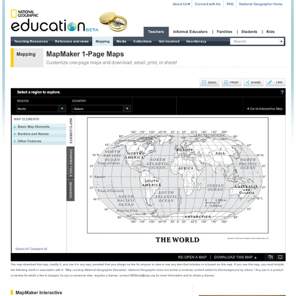
Essential Web Resources - Interactive Geography Games and Maps Interactive Geography Games and Maps Google Maps Of course this site would have to be at the top of the list! Google maps can be used in any curriculum area, with any grade level. Be sure to create a Google account so that you can create your own maps that you can embed on your web site. PlaceSpotting On this site you can create geographic puzzles for your students to solve. Placefy This site doesn't allow you to create puzzles yourself, but the Placefy game is engaging, and is more of a challenger that it looks at first. National Geographic Kids - Geography Games Not a site where you create games, but it has a dozen or so different engaging games for elementary students. GeoNet THis is a geography quiz game that offers students more than just the state or country identification questions typical of most geography quizzes.