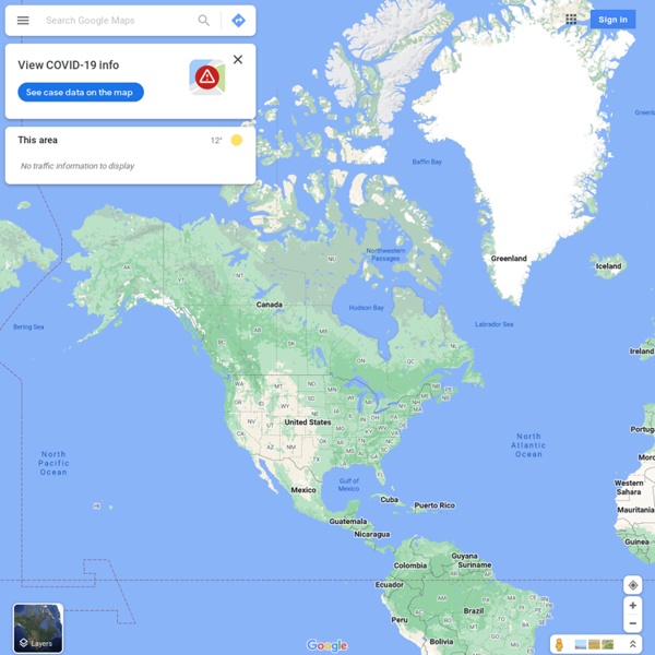
Google Maps
https://www.google.es/maps/@56,-96,3z
MapMaker
Welcome to the MapMaker Interactive This tutorial explains how to explore National Geographic Education's interactive GIS mapping tool and tools for customizing outline maps for print. Use the zoom bar to go from a world view to a local view (or in cartographic terms, from a large scale to a small scale). If you zoom out to a world view, you will see that the map is in a Mercator projection. Use the location menus at the top to zoom from a world view to a continent, country, or other region. Identify your geographic position on the map using the latitude and longitude display at the bottom left.
World Map, Online Maps, Satellite Maps - National Geographic
Skip to this page's content National Geographic Society P.O. Box 98199 Washington, DC 20090-8199 USA
Google
© 2021 - Privacy - Terms
Related:
Mapas interactivos
•
Google
•
CREACIÓN Y PUBLICACIÓN DE CONTENIDOS
•
Herramientas aplicaciones paginas web
•
Recursos TIC utilitzats
Related:


