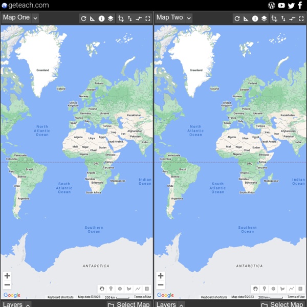


Statetris-Europe Statetris-Europe Statetris is an interesting game mixing aspects of the popular game 'Tetris' and geography. Instead of positioning the typical Tetris blocks, you position states/countries at their proper location. 40 maps that explain the world By Max Fisher By Max Fisher August 12, 2013 Maps can be a remarkably powerful tool for understanding the world and how it works, but they show only what you ask them to. So when we saw a post sweeping the Web titled "40 maps they didn't teach you in school," one of which happens to be a WorldViews original, I thought we might be able to contribute our own collection. Some of these are pretty nerdy, but I think they're no less fascinating and easily understandable. A majority are original to this blog, with others from a variety of sources.
una mappa globale di vento, meteo e le condizioni oceaniche Date | 2018-03-08 19:00 Local ⇄ UTC Data | Wind @ Surface Scale | Source | GFS / NCEP / US National Weather Service 8 Must-Try Online Geography Games for Middle School Are you looking for interesting ways to add Geography lessons to your child’s middle school studies? How about turning some of your kids’ screen time into educational learning time! This post contains affiliate links. With the help of North Star Geography my middle and high school age kids enjoy taking their Geography studies to the next level by incorporating books, videos, hands-on projects, and even online games into our lessons. By using online resources we have been able to see photos and explore places all over the world, learn interesting facts about places we might like to visit some day, and even create new societies.
TerraClues TerraClues is the ultimate Google Maps scavenger hunt game! Follow clues to find hidden locations on the map Create your own hunts for others to play A fun game that makes you think! Add your own unique clues. Take people on a hunt around the world. Test your friends knowledge with world trivia. Order your own t-shirts, coffee mugs, and other TerraCritter items to show off to your friends or get a unique fun gift for the TerraClues fan. Creare Avatar Buy One Get Multiple Extra Designs Free: When you order any caricature(s), we will use the same caricature face drawing(s) to add extra template caricature designs as our gift for you! You may go to your account to claim your extra free designs, after your purchased design(s) is completed. The free extra designs include: Expressional Animations, Funny Portraits, Beach Vacation, Halloween, Thanksgiving, Christmas, New Year and even more... Yes, these are totally Free!
Tinitaly - Download area Click on the tiles below to download the DEM. To get an image of the whole DEM of Italy at 100 m resolution click here. TINITALY is published with a CC BY 4.0 license and can be used freely, even partly, but it must be cited as follows. Interactive map plots your address over 750 million years of Earth's history As recent volcanic events in both Hawaii and Guatemala have reminded us, our planet is alive and ever-changing. But while little shifts during the course of our short lives, the differences over hundreds of millions of years are nothing short of dramatic. A new interactive map created by Ian Webster, curator of the internet's largest dinosaur database, places our planet's ever-shifting surface into stark relief. Using plate tectonics and paleogeographic maps by C.R.
PDF Crack - Sprotegge file PDF Some PDF documents prevent the user from copying and pasting or printing it's contents. This sometimes presents a problem since the author of the PDF might have used a font that is not available in the sytem trying to read it. This page contains a free online utility that allows you to upload a PDF, once uploaded, a version of the PDF without printing or copying/pasting restrictions is displayed in a new browser window. To unlock a PDF file, enter it's location in the "PDF file to unlock" field, by either typing it in the field or clicking on the "browse" button, then navigating to it's location. The unlocked version of the PDF will be displayed in a new browser window, opened in the default PDF application for your system (usually Adobe Acrobat Reader) The terms and conditions must be accepted to unlock the PDF file.
Capodanno Mappa - Anno 2016 Legend: How to Use the New Year Map Hover your mouse over a city (red dot) to see the name of the city and country with current local time and when the city will enter the New Year.When you click on the city, you’ll be taken to a New Year Countdown for your chosen city.Type your city in the search field and press enter. An automatic countdown to the New Year will be generated for your city. This will be on a new page.Click on “Preview” to see what order time zones around the world enter the New Year.Hover your mouse over the map to highlight time zones.(Doesn't work in older versions of IE – IE8 and below.)Find the current time offset – displayed in whole hours only – from Coordinated Universal Time (UTC) at the bottom of the map. UTC offsets in diagonally striped areas are not by whole hours.The map shows current local times at all times and, therefore, changes appearance when areas switch between standard time and DST.
50 + siti di social bookmarking: Importanza di User Generated Tag, i voti e Links Editor’s Note: This post was updated in October of 2016. Is social bookmarking still relevant in 2016? Read this updated post by Anna Crowe to learn more.