
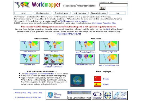
http://www.sasi.group.shef.ac.uk/worldmapper/
SIG au collège, une expérience Retour à la lettre d'information géomatique n°11 Pourquoi travailler avec un SIG au collège ? Deux objectifs guident notre usage d'un SIG au niveau collège : En premier lieu, nous l'utilisons à des fins citoyennes. Google Maps Utilisateurs d'un lecteur d'écran : cliquez ici pour accéder à la version HTML brut PlusAutres résultats Google Connexion 40 more maps that explain the world Maps seemed to be everywhere in 2013, a trend I like to think we encouraged along with August's 40 maps that explain the world. Maps can be a remarkably powerful tool for understanding the world and how it works, but they show only what you ask them to. You might consider this, then, a collection of maps meant to inspire your inner map nerd. I've searched far and wide for maps that can reveal and surprise and inform in ways that the daily headlines might not, with a careful eye for sourcing and detail. I've included a link for more information on just about every one.
La cartographie SIG en ligne ou Web mapping: les outils «libres» Sommaire I) Principe général de fonctionnement d’un serveur cartographique II) Solutions côté client III) Solutions côté serveur IV) Discussion Conclusion Flash Earth - Zoom into satellite and aerial imagery 40 Maps That Will Help You Make Sense of the World If you’re a visual learner like myself, then you know maps, charts and infographics can really help bring data and information to life. Maps can make a point resonate with readers and this collection aims to do just that. Hopefully some of these maps will surprise you and you’ll learn something new. A few are important to know, some interpret and display data in a beautiful or creative way, and a few may even make you chuckle or shake your head.
SIG Politique de la Ville MapTools.org