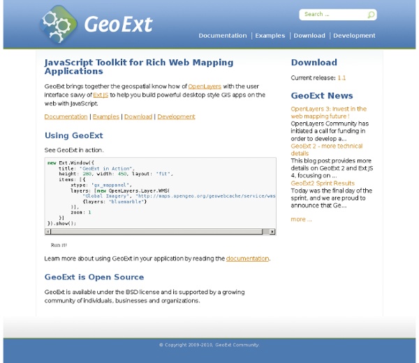
background preloader

JavaScript Toolkit for Rich Web Mapping Applications — GeoExt v1.0

JavaScript Toolkit for Rich Web Mapping Applications — GeoExt v1.0

HTML5 Mobile Mapping [Tile5] We’ve raised $12.3M in Series B funding! We’re extremely pleased to announce that we have received $12.3M in a Series B round of funding led by Greylock Partners, which also includes our original investor Sunstone Capital. This new investment will be used by CloudMade to do two primary things: Expand our support to developers and businesses in building and monetizing apps, products and services that use maps and location – this will supplement our existing developer products which include: Style Editor, Data Market Place and Navi StudioBuilding out and adding to our popular suite of consumer mapping products, Mapzen which severely reduce the complexity of mapping for all We welcome Arnon Dinur, Partner at Greylock to our Board of Directors and look forward to leveraging his expertise. Commenting on the funding Arnon said: We look forward to continuing supporting developers and the OpenStreetMap community with new innovative products.

OpenLayers 2.10 Beginner's Guide Book & eBook eBook: $26.99 Formats: $22.94 save 15%! Print + free eBook + free PacktLib access to the book: $71.98 Print cover: $44.99 $44.99 save 37%! Free Shipping! UK, US, Europe and selected countries in Asia. Overview Table of Contents Author Reviews Support Sample Chapters Learn how to use OpenLayers through explanation and exampleCreate dynamic web map mashups using Google Maps and other third-party APIsCustomize your map's functionality and appearanceDeploy your maps and improve page loading timesA practical beginner's guide, which also serves as a reference with the necessary screenshots and exhaustive code explanations Book Details Language : EnglishPaperback : 372 pages [ 235mm x 191mm ]Release Date : March 2011ISBN : 1849514127ISBN 13 : 9781849514125Author(s) : Erik HazzardTopics and Technologies : All Books, Web Development, Beginner's Guides, Open Source Erik Hazzard Erik Hazzard is a web developer – designer, Open Source advocate, and VI user. Code Downloads Submit Errata Errata Should be should be:

Maperitive Interactive maps with OpenLayers examples Embed a map in your website - Using wizard Use the OpenLayers Wizard to generate your own customized snippet. Copy/paste the generated snippet to your page source (it should look like sample below). <html><head> […] <! Embed a map in your website - Manually Required files Include the OpenLayers API in the <HEAD> section of your document: <head> […] <! Required elements Define the container into which the map will appear in the <BODY> section of your document: <! Layers / Placemarks / Data Include placemarks and data using kml files through a JSON object ollayers requiring 3 parameters: identifier / name: key identifying the layer in the JSON object label: Label of the kml file. Important: If you use kml file, make sure it respects the correct structure OPTIONAL: You could define several layers. List of styles for placemarks: Parameters Define the parameters to customize the map in the commented JSON of the <SPAN> element embedding the map, identified by "ec-widget-map"

Polymaps stamen/modestmaps-js - GitHub [map=yes] the code-y bits map=yes is a collaboration between MapQuest Open and Stamen Design, using data from the OpenStreetMap project. The project is an exploration of new frontiers in online cartography and the mapping of open data. More and more open data is coming online every day. All the code used to generate these maps is available for download and liberal re-use. This is a short tutorial designed to show you how to make your own [map=yes] style map tiles. Open Street Map The first thing we need to do is start by explaining some of the basic building blocks of OpenStreetMap (OSM): nodes, ways and tags and how you can query them using MapQuest's XAPI service. nodes nodes are points on the Earth. As you can see, they are an exciting bunch. ways ways are collections of nodes that form an atomic thing in the world, say a building or a bridge or a highway. tags Both nodes and ways have zero or more tags associated with them. There is no limit on the number of tags a node or way can have. How awesome is that? Tiles

bjornharrtell/jsts - GitHub OpenLayers Editor Kothic JS Kothic JS is a full-featured JavaScript map rendering engine using HTML5 Canvas. It was initially developed as a JavaScript port of Kothic rendering engine written in Python. Features Rendering OpenStreetMap data visually on par with Mapnik MapCSS/0.2 support (see How to prepare a map style) rendering from lightweight GeoJSON-like tiles (see Tiles Format) easy integration with Leaflet (interactive maps library) Contributing to Kothic JS Kothic JS is licensed under a BSD license, and we'll be glad to accept your contributions! Core contributors Darafei Praliaskouski (@Komzpa), Vladimir Agafonkin (@mourner), Maksim Gurtovenko (@Miroff)

Related: