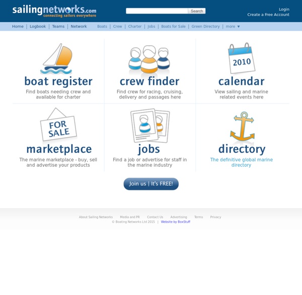
Crew Finder, Boat Register, Marine Directory, Sailing Calendar, Yacht Marketplace, Marine Job Board
Login Create a Free Account Join us now About Sailing Networks Media and PR Contact Us Advertising Terms Privacy © Boating Networks Ltd 2015 | Website by BoxStuff
Sailing Blog Hosting, Map Tracking & Social Network
View Member Locations Click Here to browse positions on the comprehensive member map. XPlot The XPlot Manager is used to manage all your saved positions and tracks. It is a comprehensive tool that not only provides latitude & longitude information to maps, but is used to also geotag your blog posts and media, import and export GPS data, store extended position data (like course and speed) and take input from automated tracking devices. By default, the XPlot Manager feeds this information to 2 maps, the lightweight and fast SailBlogs overview maps (view sample) , and as a Google Earth KML file. Google Earth The KML generated by XPlot is used to drive the Google Earth plugin that is integrated into most SailBlogs templates. Visitors can also download and add the KML file into their own full copy of Google Earth.
Horaire Marée - Tous les horaires de marées en un seul clic
Velero Olaje Cartas Nauticas para descargar
Las cartas náuticas digitalizadas, y el GPS no sustituyen a las tradicionales en papel, y las que puedes descargarte en esta web pueden no estar actualizadas con los últimos avisos a navegantes, bajos, señales de peligro, etc. Así pues, la información contenida en esta web sólo puede usarse a título orientativo. En realidad, tanto el GPS como las cartas náuticas digitales son considerados como 'auxiliares de navegación', si bien su utilidad es indudable, por lo que es importante mantener estos equipos auxiliares en perfecto estado. Si que es obligatorio disponer a bordo de cartas náuticas en papel, debidamente actualizadas.. NOTA.- Las cartas antiguas del Instituto Hidrográfico de la Marina que albergaba la web han sido retiradas a instancias del IHM, por lo que no volverán a estar disponibles.
Navigation Mac
iPad – Navigation Mac
Weekends onboard training « Navigate with an iPad» 2015 For the third consecutive year the partnership is renewed with ACM-CATAMARAN, sailing school affiliated with the French Sailing Federation. New for 2015 : training weekends will also take place on the Atlantic coast at the start of La Rochelle in addition to the traditional start of the ACM du Gapeau basis, near Hyères. I frame these weekends of training dedicated to navigation on shelf "navigating with one." […] What iPad for navigation ? You are more likely to wonder about the choice of an iPad to use navigation. iTabNav.fr On March 14 March 2011 I had announce the opening of an e-commerce website focused in accessories, mounts and connexion devices dedicated to iPhone and iPad for marine navigation : iPadNav.fr. iPad GPS far away from networks « Navigating with a digital tablet» version iBook "Revolution in the navigation. easy, fast, touch, autonomous, digital tablets are not lacking quality ! Protections for iPad (4)
iTabNav| La navigation et le sport avec une tablette numérique - www.itabnav.fr
Related:
Related: