background preloader

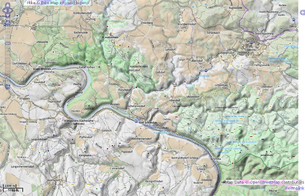
OpenStreetMap Hike & Bike Map

OpenStreetMap Hike & Bike Map

The Upsidedown Map Page - World Maps with South at the Top It needn't be a Eurocentric world It came as a surprise to me after over 20 years of seeing "normal" world maps to come across an upside down one. The most surprising thing was that I found it surprising. It is completely artificial that we have North at the top of a map. The convention came a few centuries ago when Northern hemisphere, European navigators started using the North star and the magnetic compass. Then a friend bought me an Australian map that was on sale in Japan. Hard to believe that I'd not only been educated into one stereotype about maps, but even after learning that stereotype had failed to spot the other one. I'm interested in Upsidedown Maps because they make me rethink the world. Indonesia looks like by far the most interesting place from orbit. Upsidedown prideOwn our head-scratching t-shirt! The first three following map images are copyright ODT, reproduced with their permission. More revenge from Australians, with their What's Up? Please email me:

Planificateur de parcours de randonnée multi-activités - Calcul d'itinéraire - Calcul du dénivelé cumulé - Profil altimétrique - Export et Import Traces GPS L’interface de planification de parcours évolue, avec un tout nouveau gestionnaire de fonds de carte: Le passage d’un fond de carte à l’autre, IGN France, Google Maps, OpenStreetMap,SwissTopo, etc. s’effectue plus simplement. Le parcours est désormais automatiquement fléché L’affichage des points est optimisé en fonction du niveau de zoom pour plus de fluidité La fonctionnalité de suppression de n points d’un tracé a été ajoutée, idéale pour nettoyer une trace GPS Les gagnants de ce jeu-concours sont: Philippe CHARPIN Pascal COMMES Mickaël DIANCOURT Louis GIAVARINI François LANNES Marc LEROYER Cyril LIN WEE KUAN Valérie MARTIN Jean-Luc MARTY Patrick VERHAEGHE Bravo à eux et merci à tous les participants. Le (20km/1000m D+) se déroulera le au coeur du et à quelques foulées du . Nouveauté cette année, le est inscrit au . Openrunner et l’équipe organisatrice du Trail de la Biroussanne vous offrent des inscriptions pour l’édition 2012.

World Migration | International Organization for Migration The GLOBAL MIGRATION FLOWS interactive app tracks migrants around the world. This application is now being hosted by IOM.int. It is endlessly fascinating to explore where we're from. The underlying data for the map was published by the UN DESA in 2015. Using the app: Choose whether you want to access information about migrants leaving a country (Outward) or migrants entering a country (Inward). This migration visualization tool is being developed by Locus Insight in collaboration with IOM. Note re web browser requirements: To view the migration app you will require a modern web browser. Sources: United Nations, Department of Economic and Social Affairs (2015). Cartographic Symbols & Map Symbols Library Cartographic Symbols & Map Symbols Library "In cartography, symbols are everything. The very nature of a map as an abstract representation of the Earth requires symbols to perform the abstraction. The Digital Wisdom cartographic symbol library provide graphic artists and mapmakers with a complete, well-designed contemporary set of map symbols packaged into an Illustrator vector library covering most of the features that need symbolizing on a map. The design of each and every symbol has been very carefully thought through to allow intuitive recognition of the main features of a map and use a minimal footprint to cut down on map clutter. Compatibility Issues: In the Illustrator series, there is a real difference between versions 5-8 and 9. Credits: Map Symbols was designed by Steven Gordon who is President of Cartagram, a custom cartography company specializing in tourism, terrain, city and world maps for use in all media.

OpenCycleMap.org - the OpenStreetMap Cycle Map Free worldwide Garmin maps from OpenStreetMap

Related: