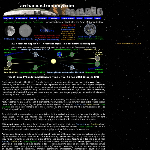


Archaeoastronomy Archaeoastronomy (also spelled archeoastronomy) is the study of how people in the past "have understood the phenomena in the sky, how they used these phenomena and what role the sky played in their cultures."[1] Clive Ruggles argues it is misleading to consider archaeoastronomy to be the study of ancient astronomy, as modern astronomy is a scientific discipline, while archaeoastronomy considers symbolically rich cultural interpretations of phenomena in the sky by other cultures.[2][3] It is often twinned with ethnoastronomy, the anthropological study of skywatching in contemporary societies. Archaeoastronomy is also closely associated with historical astronomy, the use of historical records of heavenly events to answer astronomical problems and the history of astronomy, which uses written records to evaluate past astronomical practice. Archaeoastronomy can be applied to all cultures and all time periods. History of archaeoastronomy[edit] ... Methodology[edit] Green archaeoastronomy[edit]
The Narmer Plate and the Twelve Ages of the Zodiac A new Hu for a new Zodiacal Season: Hu was resurrected in the guise of Leo. It made sense at the time but down through the millennia it was to cause utter confusion for later generations, as the original Secret of Hu became lost. (See Part 2) The Sphinx at Giza was no longer considered to be the earthly representation of Hu, God the Creator, the Celestial Sphinx. Rather, the Sphinx at Giza came to represent the Constellation of Leo, the substituted deity. On the earlier sky charts of the lost Constellation of Hu, the Celestial Sphinx, he appears to face towards the West. In contrast, the Constellation of Leo appears to face towards the East. Hu: Giver of Life in the Beginning.This title was usurped by Osiris. In the hieroglyphs for Hu's title "Giver of Life in the Beginning" the Lion, the Hemisphere, and the Pillar denote "the Beginning". Thoth: the Keeper of the Secrets The Age of Aquarius:the Water Bearer pouring the Water of Life out of the Urn.
The Megalithic Portal and Megalith Map: Lacam de Peyrarines Ston Site Name: Lacam de Peyrarines Country: France Département: Languedoc:Gard (30) Type: Stone CircleNearest Town: Le Vigan Nearest Village: BlandasLatitude: 43.926100N Longitude: 3.530700ECondition: 5 Ambience: 5 Access: 4 Accuracy: 5 Internal Links: External Links: Lacam de Peyrarines submitted by ocdolmen It seems to be a generally held opinion that there are no "real, proper" stone circles outside the British Isles. The circle is about 120 metres in diameter, with still about 50 stones up to 1.8 metres tall standing in position, and has a large central menhir, standing well over 2 metres high. The stones which make up the circle are all different shapes and sizes. It is a truly wonderful place, and hardly known by anyone. IMPORTANT NOTE: Positional co-ordinates taken from a gps receiver. You may be viewing yesterday's version of this page To see the most up to date information please register for a free account. Lacam de Peyrarines submitted by reginaLacam de Peyrarines Nearby sites
Cham des Bondons menhir.jpg - Wikipedia, the free encyclope La Cham des Bondons Avec 154 menhirs, la Cham des Bondons constitue la deuxième concentration de monuments mégalithiques d'Europe après les alignements de Carnac en Bretagne. Au sud du plateau, une faille nord-sud est à l'origine de la création d'un aven, s'ouvrant en amont du vallon de Malpertus, qui donne accès à la grotte de Malaval. Cette grotte est connue depuis le VIIIe siècle au moins mais elle n'a été explorée qu'à partir des années 1950 par une équipe du BRGM dirigée par Jacques Rouire. La grotte est connue dans le monde de la spéléologie pour certaines de ses galeries[5] abritant des concrétions d'aragonite d'une grande finesse et diversité[6]. Le plateau concentre sur sur une aire d'à peine 10 km2 plus de 150 menhirs répartis en plusieurs groupes. Le premier inventaire de ces monolithes a été réalisé par le docteur Charles Morel dans les années 1940, il recense alors environ 120 menhirs[7]. Ce groupe est situé au sud du lieu-dit de la Baraque de l'Air. C'est le groupe le plus oriental.