Home – Malaria Atlas Project

OpenJUMP GIS
NetLogo Home Page
NetLogo is a multi-agent programmable modeling environment. It is used by many hundreds of thousands of students, teachers, and researchers worldwide. It also powers HubNet participatory simulations. What can you do with NetLogo? Join mailing lists here. Download NetLogo Go to NetLogo Web NetLogo comes with a large library of sample models.
GIS Extension
This extension adds GIS (Geographic Information Systems) support to NetLogo. It provides the ability to load vector GIS data (points, lines, and polygons), and raster GIS data (grids) into your model. The extension supports vector data in the form of ESRI shapefiles. How to use it In general, you first define a transformation between GIS data space and NetLogo space, then load datasets and perform various operations on them. You may also optionally define a projection for the GIS space, in which case datasets will be re-projected to match that projection as they are loaded, as long as each of your data files has an associated .prj file that describes the projection or geographic coordinate system of the data. Once the coordinate system is defined, you can load datasets using gis:load-dataset. A VectorDataset consists of a collection of VectorFeatures, each one of which is a point, line, or polygon, along with a set of property values. Known issues Credits GIS primitives Dataset Primitives
OpenGeoportal.org
Related:
Related:


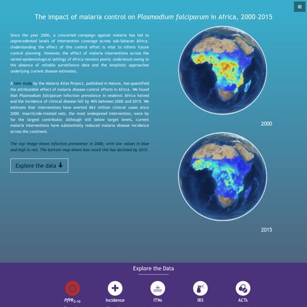
MALARIA ATLAS PROJECT Le principe fondamental de MAP est de créer une base de données solide pour nos modèles d'endémicité paludique. La phase de modélisation ne sera donc réalisée qu'une fois la récupération de l'ensemble des données disponibles au niveau mondial effectuée. by guatemalt Aug 15