
450+ Free Graphics: Lush Vector Trees and Summer Leaves If you're looking for free vector summer graphics, specifically trees and leaf vector artwork, then you've found a compilation worth downloading. We've collected an assortment of free vector clipart tree graphics, free vector summer silhouettes, and free vector leaf and tree brach art downloads. There are a variety of simple organic graphics, as well as more complex, colorful nature illustrations. Jump in and grab these free lush spring and summer vector graphics for your next design project. Many of these free vector graphics are available for commercial use, as well as personal use. Some may have stronger restrictions though, so as always check the usage rights before using. Using Vector Trees and Leaf Graphics in Your Work These vector tree and leaf graphics are primarily composed of simple silhouettes, which make them excellent for using in your design projects. Creating Vector Tree and Leaf Graphics Download Collections of Vector Trees and Leaves for Free Right Now 10 Free Leafy Pods
Lesson: Identifying Geological Structures in DEMs: Background Information Background information on Mount Hood Snow-clad Mount Hood (3,426 meters - 11,239 feet) dominates the Cascade skyline from the Portland metropolitan area to the wheat fields of Wasco and Sherman Counties. The mountain contributes valuable water, scenic, and recreational resources that help sustain the agricultural and tourist segments of the economies of surrounding cities and counties. Mount Hood is also one of the major volcanoes of the Cascade Range, having erupted repeatedly for hundreds of thousands of years, most recently during two episodes in the past 1,500 years. The last episode ended shortly before the arrival of Lewis and Clark in 1805. Regional Geology Mt. Figure 1: Structures in the Mount Hood Region. Figure 2: Cross-sections across the Mount Hood region showing the structure. Recent Volcanic History of Mount Hood Since about 30,000 years BP, Mt. Figure 3; The contrasting flanks of Mt. Further Information Williams, D.L., D.A. W.E. Cynthia A.
s Guide to U.S. Government for Kids Vector Mill — Premium Adobe Illustrator Resources Mount Hood: Interactive timeline traces peak's history Mount Hood, the highest point in Oregon, is a state icon. Located about 50 miles east of Portland the mountain is one of the most climbed glaciated peaks in North America. It is part of the Cascade Mountain Range that also includes Mount Adams, Mount St. Helens and Mount Rainier. Mount Hood is a popular ski and snowboarding destination with multiple resorts. Olympic snowboarders from around the world train here during the summer months. The most well known lodging destination on the mountain is Timberline Lodge. Mount Hood has 12 named glaciers and snowfields, the largest glaciers, Coe and Eliot, are located on the north and northeast side of the mountain. The 11,240 foot tall mountain is the heart of the Mount Hood National Forest, a million-acre forest that more than 2.6 million people visit annually, according to the U.S. There are 314,078 acres of designated wilderness in the forest. Roll your cursor over the right side of the frame to navigate.
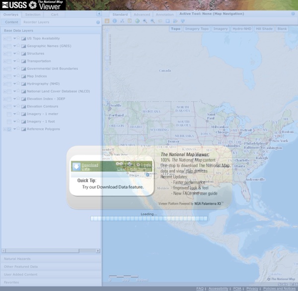
materials: Natural Download these free materials – grass, dust, apples, fruits, vegetables, for free. Adequate Zip folder contains needed textures. Download for free by clicking on the corresponding picture of material. Using GIS to Digitize Historic Geologic Maps | Annotated bibliography summarizing resources related to georeferencing and digitizing historic geologic maps using the GIS. Completed as course requirement for GIS 565, Geographic Information Systems & Scienc Vray-materials.de - Your ultimate V-Ray material resource