
Travel Resources - LA INC. The Los Angeles Convention and Visitors Bureau - discoverLosAngeles.com Los Angeles enjoys a mild Mediterranean climate — moderate temperatures with low humidity year-round. Midday readings average 80 degrees from June to October and 70 degrees between November and May. In December and January, when others around the country are shivering, locals may be heading to the beach in shorts and short sleeves. The rainy season is between November and March, when a few rainy days are typically followed by many days of brilliant sunshine and clear bright skies. Summer’s warmth is often tempered by pleasant sea breezes, especially near the ocean. Average Temperatures Celsius Fahrenheit Max. January 19º/9º 66º/48ºFebruary 19º/10º 67º/50ºMarch 21º/11º 69º/51ºApril 22º/12º 71º/54ºMay 23º/13º 73º/56ºJune 25º/16º 77º/60ºJuly 28º/17º 82º/63ºAugust 28º/18º 83º/64ºSeptember 28º/17º 82º/63ºOctober 26º/15º 78º/59ºNovember 23º/12º 73º/53ºDecember 20º/9º68º/49º The minimum driving age in California is 16, and drivers must possess a valid U.S. or international driver’s license.
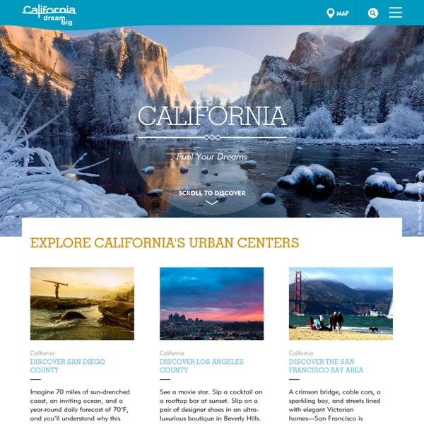
California Travel and Tourism Commission If beaches are your desire, Southern California is your oyster. Pacific Beach, La Jolla, Del Mar, Laguna, Huntington, Hermosa, Malibu—the collection of first-rate beaches is ridiculously long. You could spend a lifetime exploring Southern California’s coast— many have—and still fall short. Any list overlooks dozens of gems, so keep this in mind as you travel north from San Diego’s beaches to L.A.’s. Trip time: 5-6 days Day One Start just north of San Diego in Mission Beach. From the Catamaran, you can spot Sea World across the bay. Day Two To fuel up for your day, don’t miss breakfast at Pacific Beach’s Café 976, which serves everything from homemade scones to hefty breakfast burritos, in a foliage-shrouded 1920s clapboard house. After breakfast walk sunny PB’s (Pacific Beach’s) raucous oceanfront strand, with its great people watching, from jugglers to preening hard bodies. Day Three Book a room at Laguna Beach's Montage Resort & Spa. Day Four Poke around in downtown Laguna Beach.
STAPLES Center Arizona Directions - Grand Canyon National Park The mile-deep Colorado River creates a barrier that splits the park into north and south Rims. In this illustration, the North Rim is shown in yellow and the South Rim is shown in blue. Why is the park separated into South and North Rims? A 277 mile long (446 km) canyon separates the park into South and North Rims. The Grand Canyon of the Colorado River is a mile-deep, (1.6 km) and creates a barrier that bisects the park. Scenery, climate and vegetation are noticably different between north and south rims because of differences in elevation. Inside Pixar What an amazing place to work. Makes me which I had some sort of marketable talent.
Home Colorado Grand Canyon National Park, Arizona The South Rim of Arizona's Grand Canyon is expensive and overcrowded, and there is usually a shortage of parking and accommodation, but that of course doesn't matter as the canyon is the most famous natural attraction in the USA and possibly in the world. No-one forgets their first sight of the Grand Canyon and it will never fail to impress or offer something new, no matter how often it is visited. Ninety percent of tourists see only the south rim of the Grand Canyon, since it is easily accessible and the main road (AZ 64) parallels the canyon edge for some distance (see map) - here there is every conceivable facility, many superb overlooks and a choice of hiking trails. The north rim, 215 miles away by road, is much more remote and high enough in elevation to be closed during the winter months by snow, but fewer people mean more peace and tranquility and the views are just as good. Featured Grand Canyon Trails South Rim North Rim Havasupai Indian Reservation Havasu Canyon★★★★★ Topo Map
California State University, Northridge Utah Goosenecks of the San Juan State Park, Utah (DesertUSA) Four miles off Utah Highway 261 near Mexican Hat, you can look into a 1,000-foot-deep chasm carved through the Pennsylvanian Hermosa Formation by the silt-laden San Juan River. The river meanders back and forth, flowing for more than five miles while progressing only one linear mile toward the Colorado River and Lake Powell. The access road is paved. The Park encompasses 10 acres. Facilities include primitive camping and vault rest rooms. General Information Rates & Fees Entrance: None Five-Day Pass: $12 and allows day-use entrance to all Utah state parks for five consecutive days. Seasons / Hours Open year round, 24 hours a day. Visitor Center None Camping & Lodging Lodging There is no lodging available in the park. Camping Facilities include primitive camping and vault rest rooms. Stay Limit: 14 Days Total Units - 4 RV Trailer Sites - 4 Maximum RV Length - 30 ft. Things To Do Picnicking is available in the Park. Resources & Nearby Attractions Cities & Towns Mexican Hat, Utah: 8 miles east.
Visit Anchorage Lake Powell Guided Boat Tours - Lakepowell.com There's no better way to see the best of what Lake Powell has to offer while learning about its history and geology than stepping aboard our guided boat tours available only from Wahweap Marina at the Lake Powell Resort. Enjoy the romance of a sunset dinner cruise, or the fascinating story of building the Glen Canyon Dam on a scenic cruise. From exploring Rainbow Bridge to the wonders of the Navajo Tapestry, you'll see it all! Individual audio sets are included with every tour and are available in English, German, French, Italian and Japanese. All tours depart from Lake Powell Resort. Canyon Princess Dinner CruiseRainbow Bridge Boat TourCanyon Adventures Boat TourAntelope Canyon Boat Tour Learn More! Park Entrance Fees There is a $15 entrance fee that admits one single, private, non-commercial vehicle and all its passengers and is valid for 7 consecutive days.