
Mapping ICT is a compulsory part of the National Curriculum. The existing programme for ICT, however, has been suspended as dull, boring and unsatisfactory and replaced by new courses of ICT study. These are expected to prepare the pupils for the increasingly digital world and give them the necessary knowledge and skills to find decent jobs. The Responses to Changes of the National Curriculum for ICT Study The leading experts and the ICT industry support the changes of the National Curriculum for ICT Study. The suspended National Curriculum for ICT Study did not prepare the students adequately for the needs of the industry or give them computer skills they need to succeed in life. The Difference between the Old and New ICT Programme The new National Curriculum for ICT gives incomparably more freedom to schools and teachers in what and how they will teach their pupils relevant skills and make the courses more exciting. Challenges of the New Curriculum for ICT Study
Get walking directions from any UK point Walking directions open in a new window ready for printing. Online driving directions are also available with detailed maps and timings of routes. Passport to the world "I stumbled upon your fun interactive geography games from a link on the Massachusetts Geographic Alliance Website. Since then, your games have become quite a hit with my competitive colleagues!" --Candice Gomes, Education Outreach Coordinator, Boston Public Library Sheppard Software's geography games were featured in the Boston Public Library's 2006 Exhibition on Mapping! "Terrific online educational games, especially geography." --Dallas Children's Museum "I am a middle school social studies teacher who also sponsors a geography club after school. "Awesome site... it is the only reason I am passing my World Geography class!" "We love your interactive maps and are using them for 10th grade world history." "Let me say that you guys have an awesome website.
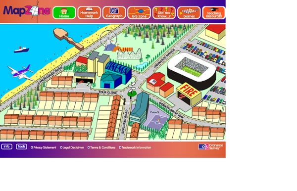
iFootpath - walking guides and directions for the UK Mapping This page offers interactive Flash based activities to help the user gain a number of skills in understanding maps. These activities can be used by a teacher as a demonstration tool or by the student in the classroom or at home. There are three lessons available. Clicking on the links to the left will bring up the activities. Activity 1: Using grid lines - this short activity is designed to help the student understand the basics of using grid lines. The activities on this site require the free Macromedia Flash plugin. shockwave/flash The Godfrey Edition: Ordnance Survey Maps Mapping 1 | 2 Description (Page 1) The People's Republic of China is the world's fourth largest country (by total area), and one of only five remaining Communist states in the world. As with the ancient Roman and Egyptian empires, China led most of the world in the arts and sciences for hundreds of years. Pre-history began with civilizations that originated in numerous regions along the Yellow River and Yangtze River valleys over a million years ago. By 2100 BC the Xia Dynasty had formed, becoming China's first dynasty - according to ancient historical records. Following the Xias, the Shang Dynasty rose to power, and then were ultimately overrun by the Zhou Dynasty in 1066 BC. Emerging from the Yellow River valley, the Zhous were the longest-lasting dynasty in China, establishing their rule under a semi-feudal system. The use of iron and the evolution of written script into its modern form were both introduced during the Zhou Dynasty. Description continued...
Free Map Tools Animated Knots by Grog | How to Tie Knots | Fishing, Boating, Climbing, Scouting, Search and Rescue, Household, Decorative, Rope Care, Waterproof Fire Starter I have seen many examples of fire starters, but I wanted to try and make one that was made out of only primitive materials. I wanted to make sure that it was small and waterproof. Also, it could be used with any primitive coal producing method of fire making, like the hand drill or bow drill, as well as more modern methods, like steel and flint, Ferrocerium Rods, matches and lighters. Here is what I did . . . . Supplies: 1. Bees wax melted in a double boiler 2. Begin by placing the char cloth into the center of the jute tinder nest. Next begin wrapping the tinder with thin strips of birch bark. Carefully dip half of the wrapped bundle into the wax to seal the bark in place. When you are ready to use your fire starter (this was done on a rainy day, on cold wet pavement, in late October, in Northeast Wisconsin), simply cut it in half, pull out the tinder nest from the inside, expose the char cloth and you are ready to go. PrimitiveWays Home Page © PrimitiveWays 2013
Best fishing knots and rope knots Welcome to the BMC - The British Mountaineering Council