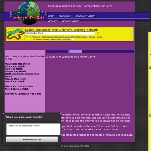
background preloader

Latitude And Longitude Game

Latitude And Longitude Game

World Map Match Game - Geography Games For Kids - By KidsGeo.com You will be shown 21 random countries each round of game play. Your job is to place each nation in the correct location, as quickly as you can. Use your mouse to drag each country map to the correct location on the Earth. Try to remember the location of each country. The more you practice, the easier it will become to remember where each nation is located. How Fast Are You? Start With The Continents If this game is too difficult, have students begin by practicing on a specific continent. Parent's And Teacher's Note: The object of this game is to help students remember the locations of each country around the world.

geografia per bambini delle scuole elementari GLOSSARIO DI GEOGRAFIA GOOGLE MAPS CREARE PERCORSI ANIMATI con GOOGLE STREET VIEW FARE GEOGRAFIA CON GOOGLE EARTH (guida per l'uso) UN OROLOGIO GEOGRAFICO PAROLE GEOGRAFICHE FOTO a 360° DI TUTTO IL MONDO VISITA I MUSEI DEL MONDO GIOCHI SU: ITALIA EUROPA MONDO MATERIALE PER RICERCHE GEOGRAFIA E FANTASIA!! UN SACCO DI IDEE PER IMPARARE DIVERTENDOSI E COSTRUENDO ITALIA: metti le regioni al posto giusto Trascina con i mouse le regioni al posto giusto. Puzzle delle regioni Completa il puzzle Puzzle delle regioni 2 ITALIA: metti i capoluoghi al posto giusto Trascina con i mouse i capoluoghi nelle giuste regioni. ITALIA: capoluoghi al posto giusto1 Clicca sul capoluogo della regione che vedi ITALIA: metti le città al posto giusto Scegli una regione, cliccaci sopra e poi metti le città al posto giusto. Città d'Italia Individua 20 città Città d'Italia junior Regioni d'Italia Individua le regioni Province d'Italia del Nord Individua le province dell'Italia del nord Province dell'Italia del sud

USA Geography - Map Game - Geography Online Games "I stumbled upon your fun interactive geography games from a link on the Massachusetts Geographic Alliance Website. Since then, your games have become quite a hit with my competitive colleagues!" --Candice Gomes, Education Outreach Coordinator, Boston Public Library Sheppard Software's geography games were featured in the Boston Public Library's 2006 Exhibition on Mapping! "Terrific online educational games, especially geography." "I am a middle school social studies teacher who also sponsors a geography club after school. "Awesome site... it is the only reason I am passing my World Geography class!" "We love your interactive maps and are using them for 10th grade world history." "Let me say that you guys have an awesome website.

Fun facts about the seven continents & different cultures around the World. Continents In the last article you learned how to divide the world into hemispheres. You can say in which two hemispheres a place is located. A continent is one of the seven main land areas on the Earth. The Seven Continents. So nobody can say I like one continent more than another, I am going to place them in alphabetical order. AfricaAntarcticaAsiaEuropeNorth AmericaOceaniaSouth America Look at the map. Oceania (sometimes called Australia) and Antarctica are completely surrounded by water. Using the map , see if you can name the hemispheres that each continent lies in. Africa (4)Antarctica (3)Asia (4)Europe(3)North America (2)Oceania(2)South America (3) Here are some interesting facts about each of the continents that make them unique (different to the others). Africa Contains the world's longest river (The Nile). Antarctica Is the only continent completely covered in ice. Asia Is the only continent joined to two others. Europe North America Is joined to Asia by ice in winter (Bering Sea).

Related: