
ETH - Geodetic Metrology and Engineering Geodesy - Unmanned Aerial Vehicles. Introduction Unmanned aerial vehicles (UAVs) can be used for mapping in the close range domain, combining aerial and terrestrial photogrammetry and as alternative for aerial mapping technologies in small scale areas.
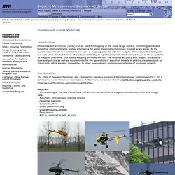
At the current state mainly low-cost UAVs are used in mapping projects with low budgets. However, in the last years low-cost UAVs reached a level of practical reliability and professionalism which allow the use of these systems as mapping platforms. Theban Mapping Project. RSPSoc - Remote Sensing & Photogrammetry Society. RADIO-PAST LiDAR. To be able to obtain a very high resolution Digital terrain Model of the site of Ammaia and its immediate surroundings, the team has opted to do a detailed and innovative LIDAR survey.
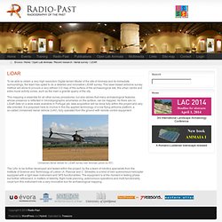
This laser-based airborne survey method will allow to procure a very refined 3-D map of the surface of the archaeological site, the urban centre and extra mural activity zones, such as the main a granite quarry of the city. This mapping is essential for all other survey procedures, but also allows that many archaeological features, whose presence is reflected in microtopographic anomalies on the surface, can be mapped. As there are no LiDaR data on a wide scale available in Portugal yet, data acquisition will be done fully within the project and very site-oriented. It is proposed here to involve in this the applied technology of a low flying airborne platform, a so-called Unmanned Aerial Vehicle (UAV), fully operated from the ground with remote control equipment.