
The USGS Store - One stop shop for all your maps, world, United States, state, wall decor, historic, planetary, topographic, trail, hiking, foreign, satellite, digital. Web Soil Survey - Home. Topographic Maps & Aerial Photos for United States & Canada. The USGS Store - One stop shop for all your maps, world, United States, state, wall decor, historic, planetary, topographic, trail, hiking, foreign, satellite, digital. Table of Contents. Table of Contents a manual prepared jointly by C.

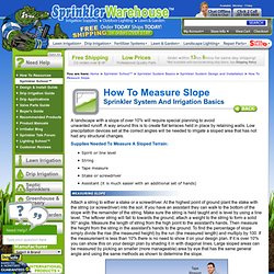
Brouwer International Institute for Land Reclamation and Improvement andA. How to Measure Slope for lawn sprinkler and irrigation systems. A landscape with a slope of over 10% will require special planning to avoid unwanted runoff.
A way around this is to create flat terraces held in place by retaining walls. Low precipitation devices set at the correct angles will be needed to irrigate a sloped area that has not had any structural changes. Attach a string to either a stake or a screwdriver. At the highest point of ground plant the stake with the string (or screwdriver) into the soil. If you have an assistant they can walk to the bottom of the slope with the remainder of the string. DocumentView. Visual Understanding Environment.