
Elargissement de l'Union européenne, nouveaux défis - Dossiers - La documentation Française.
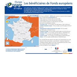
Les bénéficiaires de Fonds européens. Pour consulter la liste des projets de votre région ou les projets financés par le volet national du Fonds social européen, ou par Europ’Act – programme d’appui et de coordination technique, cliquez sur les zones correspondantes de la carte ci-contre.
Pour visualiser l’ensemble des projets soutenus par le FSE et le FEDER en France, cliquez ici. ESPON. Comptes nationaux (PIB compris) Eurostat Home.