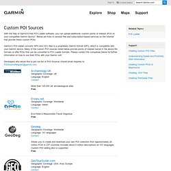

WORLD Poi's Waypoints. GARMIN MapSource POI Sources. With the help of Garmin's free POI Loader software, you can upload additional, custom points of interest (POI) to your compatible Garmin device*.

Below are links to several free and subscription-based services on the Internet that provide these custom POIs. Garmin’s POI loader converts GPX and CSV files to a proprietary Garmin format (GPI), which is compatible with your Garmin device. Many of the custom POI sources listed below provide points of interest saved in the above file formats or offer POIs that can be converted to POI Loader formats. Please contact the companies below for further information on how to use their POIs with your Garmin unit. Developers who would like to join our list of POI Sources should email inquiries to POISourceRequest@garmin.com. Archaeology UK Geographic Coverage: UK Language: English Contact More than 125,000 UK archaeological sites Free Ermes.net Geographic Coverage: Worldwide Language: Italian Contact Eco-Hotel e Responsible Travel Organizer Free Geodeg maft.
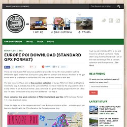
OSM POI Export. Europe POI download (standard GPX format) - Vandog Traveller. There are tons of great POI resources scattered around the net but the main problem is all the different file types and formats.

Everyone is using different software and devices. A solution is the .gpx format which is an attempt to standardise GPS data and it does seems to work well. The best resource I have seen is this excellent collection of Europe POIs from Adam and Sophie’s motorhome blog. It probably has all the up to date POIs you’ll ever need but the only problem is that it is only offered in MS Autoroute format (.axe). Autoroute is a great mapping program but I’m on a Mac and I’m also a bit reluctant to buy any more software if I can help it. I have converted this great collection of POIs into standard .gpx files (GPS Exchange Format 1.1) – See downloads below. I hope this helps out all the campers who don’t have Autoroute or are on a Mac… or maybe you’d just like more flexibility with the POIs offered on the Europebycamper blog. 2014 – Aires Camping Farm.gpx 2014 – LIDL Europe.gpx.
Locus All Europe POI's.
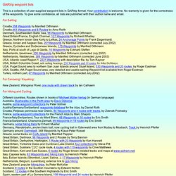
POI's Collecte Belgium. Poi's Collecte Czech Republic. Poi's Collecte Deutschland. POI's Collecte Espana. Poi's Collecte France. Poi's Collecte Italia. Poi's Collecte USA- Canada. Poi's Collecte Australia. GPS POI Data Directory - Free POI Files - GPS POI Data. GARtrip waypoint lists. GARtrip waypoint lists This is a collection of user supplied waypoint lists in GARtrip format.

Your contribution is welcome. No warranty is given for the correctness of the waypoints. To give some confidence, all lists are published with their author name and email. For Sailing: For Canoeing / Kayaking : New Zealand, Wanganui River, one route with drawn track by Ian Calhaem For Hiking and Cycling: For Driving: Germany, Autobahn exits, 1032 Waypoints, by Remco Castner Great Britain, 1377 Shell stations and 723 motorway junctions, Waypoints by Remco Castner Namibia, Kaokoland, a 4x4 tour with waypoints, track, and report file by Wouter Brand Iceland, along street #1, 160 Waypoints and 6 routes, by Heinrich Pfeifer Camping sites in Germany, Ireland, and Italy: 55 Waypoints, by Remco Castner New Zealand: tourist attractions in Rotorua, by Peter McKellar For Avionics: Cities, towns, places in general: Email addresses of contributors are not published, but I can forward your mail if required.
POI Downloads für Dein Navi › pocketnavigation.de. Téléchargements de poi de rapido 03 - vadrouillesencampingcar, récits et photos de nos voyages en camping-car. Ci dessous vous trouverez en lien tous mes bivouacs en camping-car.

Le premier fichier est pour visualiser dans google earth, les dossiers suivant sont pour les GPS Tomtom, Garmin, Mio, Navman, Route 66, Destinator,Airis, Kenwood, Pioneer, Viamichelin (sauf 930), Médion, Navigon, Magellan, et ceux qui tournent sous IGO,à dézipper et à copier dans le fichier adéquat avec l'icone qui est associée. Ces fichiers contiennent les 224 lieux où nous avons passé une nuit, souvent de simples coins tranquilles sans services, d'autres avec un point d'eau ou même plus. Cette mise à jour est de Novembre 2010, c'est 38 points suplémentaires depuis la mise à jour de Janvier, les pays couverts: