
Global Data Explorer (Powered by GeoBrain) Step 2 : Click Log In and sign on using your Reverb/ECHO account. , specify data name, projection, format and other output settings, then submit the request. Thematicmapping.org. Land. About Derived from 10m coastline.
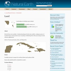
Continental polygons broken into smaller, contiguous pieces to avoid having too many points in any one polygon, facilitating faster data processing in certain software applications. (below) Yucatan peninsula, Cuba, and Hispaniola. Issues Coastline accuracy is suspect for northern Russia and southern Chile. Admin 1 – States, Provinces. About NOTE: This theme is still in beta!
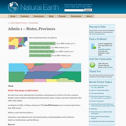
Internal, first-order administrative boundaries and polygons for all but a few tiny countries. Includes name attributes (including diacritical marks), name variants, and some statistical codes (FIPS, ISO, HASC). Looking for Cyrillic or Chinese characters? Admin 0 – Countries. Minor Islands. About Additional small ocean islands ranked to two levels of relative importance.
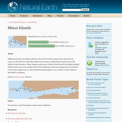
Derived from 1:250,000 World Vector Shoreline. Relatively few minor islands shown in polar areas with selective edits elsewhere. Minor islands contain more relative detail than do the islands included with the main 10m ocean coastline data.