
Isoscope.
Looking 4 data visualization: Tools. Selected Tools. RAW. DataBase. Bases de données des Nations Unies. Find Data. The World Bank DataBank - Create Widgets or Advanced Reports and Share. WMS. List of available online WMS services (Weather, Land Data, Place Names...) Current community your communities Sign up or log in to customize your list. more stack exchange communities.

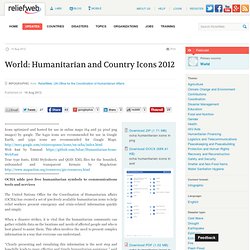
Available WMS and WFS servers - GeoServer. World: Humanitarian and Country Icons 2012 - World. ************************************* Icons optimized and hosted for use in online maps (64 and 32 pixel png images) by google.

The 64px icons are recommended for use in Google Earth, and 32px icons are recommended for Google Maps. Web font by Tomnod: True type fonts, ESRI Stylesheets and QGIS XML files for the bounded, unbounded and transparent formats by MapAction: *************************************OCHA adds 500 free humanitarian symbols to communications tools and services The United Nations Office for the Coordination of Humanitarian affairs (OCHA) has created a set of 500 freely available humanitarian icons to help relief workers present emergency and crisis-related information quickly and simply. When a disaster strikes, it is vital that the humanitarian community can gather reliable data on the locations and needs of affected people and who is best placed to assist them.
How liveable are cities?