

About. FlyOnTime.us is a free resource for air travelers and anyone else interested in the on-time performance of the commercial air system in the United States.
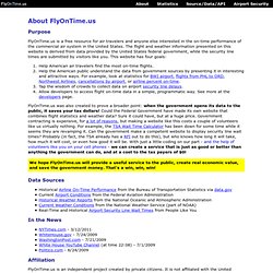
The flight and weather information presented on this website is derived from data provided by the United States federal government, while the security line times are submitted by visitors like you. This website has four goals: Help American air travelers find the most on-time flights. Help the American public understand the data from government sources by presenting it in interesting and attractive ways. For example, look at statistics for BWI airport, flights from PHL to ORD, Northwest Airlines, cancellations by airport, or airline percent on-time. FlyOnTime.us was also created to prove a broader point: when the government opens its data to the public, it saves your tax dollars!
FlyOnTime.us is an independent project created by private citizens. Transtats. Design. 10 Ways Charts Can Lie, Cheat & Lead Astray Posted by qvdesign on March 22, 2012 · Leave a Comment Charts; they’re like photographs: they never lie, they just show the data as it is right?
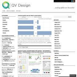
– wrong. In the wrong hands they can be some of the most cunning and conniving creations ever conceived by man, they’re regularly put to work to lead the gullible astray and hide the all important information held within. … Continue reading Qliktech Global Partner Mobile App Contest – The Runners & Riders: 1 Thoroughbred, a Few Also Rans and Lots of Old Nags Standard · Posted by qvdesign on March 9, 2012 · 13 Comments As some of you may be aware Qliktech has been running a Global Partner Mobile App Contest with the top 5 entries winning an invite to the upcoming Qonnections 2012 event in Miami and yesterday they released the ‘Top 20′ to the Partner Community for voting.
Brilliant Qlikview Parallel Co-Ordinates Chart Posted by qvdesign on January 31, 2012 · 17 Comments. Sales Enablement Assets.qvw. Transtats. Data expo 09. ASA Statistics Computing and Graphics. Data expo Have you ever been stuck in an airport because your flight was delayed or cancelled and wondered if you could have predicted it if you'd had more data?
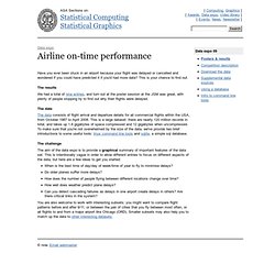
This is your chance to find out. The results We had a total of nine entries, and turn out at the poster session at the JSM was great, with plenty of people stopping by to find out why their flights were delayed. Public Data Explorer. PlaceFinder Guide. Yahoo BOSS Geo Services Yahoo BOSS is a suite of services that provides Developers premium API's that can support Search and Geo applications.
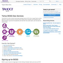
BOSS Geo services include two primary offerings today, Placefinder and PlaceSpotter, which allows developers to geo-enrich their applications and make them more location aware. Learn more about the offerings below. How Do I Get Started? Learn more about BOSS Geo. Signing up for BOSS BOSS is a suite of services including Search and Geo offerings. Review the step by step tutorial and sign up when ready. Pricing This table only reflects an overview of the pricing. Overview of BOSS Geo Yahoo BOSS PlaceFinder Yahoo PlaceFinder is a geocoding Web service that helps developers make their applications location-aware by converting street addresses or place names into geographic coordinates (and vice versa).
Yahoo BOSS PlaceSpotter PlaceSpotter is not a geocoder. Additional Yahoo BOSS Geo Features Here are some key additional features of the new BOSS Geo offerings: The Google Geocoding API - Google Maps API Web Services. This document discusses the Geocoding API v3.
Note that the Geocoding API v2 has been turned down and is no longer available. Users of the Geocoding API v2 service should upgrade to v3. Looking to use this service in a JavaScript application? Check out the Geocoder class of the Google Maps API v3. What is Geocoding? Geocoding is the process of converting addresses (like "1600 Amphitheatre Parkway, Mountain View, CA") into geographic coordinates (like latitude 37.423021 and longitude -122.083739), which you can use to place markers or position the map. Reverse geocoding is the process of converting geographic coordinates into a human-readable address. The Google Geocoding API provides a direct way to access a these services via an HTTP request. Before You Begin This document is intended for website and mobile developers who want to use geocoding data within maps provided by one of the Google Maps APIs.
Geocoding is a time and resource intensive task. API Key Usage Limits Users of the free API: Qlikblog.at - QlikView Blog by Stefan Walther (QlikView APIs, QlikView Macros, QMS API, etc.) iQlik – Everything QlikView. Quick – Qlear – Qool » it’s all about QlikView. QlikMarket.
Download QlikView. QlikCommunity. CRM Content: Search Content. QlikView Web Site. Hardware. QlikDemos.