
Spreadsheet. Geocoding. Google Earth PhotoOverlay. As part of CASA's work on the GeoVue project funded by the National Centre for E-Social Science we are proud to announce the release of the latest in a suite of software - PhotoOverlay Creator.
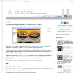
PhotoOverlay creator has been made specifically to place high resolution imagery into Google Earth. The tool supports full 360x180 degree panoramas, partial cylindrical panoramas and standard photographs or images, all within a simple point and click interface. Working in a similar manner to our Image Cutter software the program tiles your images and creates a KML file ready to put on your server allowing you a higher level of control over your imagery than is possible using web based services. The simplest way to start out using PhotoOverlay Creator is to follow our 2 step tutorial: Step 1. 3D Route Builder. 3D Route Builder for Google Earth 3D Route Builder is a powerful GPS editor for fine grain control over paths directly in Google Earth.
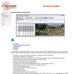
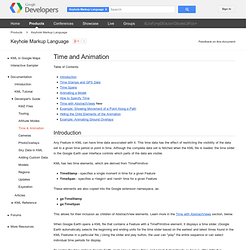
These can then be either built from scratch or based on existing KML/KMZ, GPX or Garmin Training Center TCX. They can then be retraced at scalable real time speed. DAGIK. Time and Animation - KML. Table of Contents Introduction Any Feature in KML can have time data associated with it.
Google Earth Photo Overlay Creator.