
ESRI’s brilliant marketing move and what Open Source GIS can learn from it « Mapoholic. ESRI has announced “ESRI Maps for Office”, an Excel add-in which will be available in public beta the first half of 2012.

So imagine: You have all your Excel data, all the power of Excel for analysis and now, you can also display this data on a map WITHIN Excel to explore and analyze it in a whole new way.Fantastic – no? It probably is. ESRI hasn’t released any information about pricing or licensing (e.g. would you need to have ArcGIS installed on the desktop to use the add-in?)
Python Scripting for ArcGIS. Mapping and Modeling Tutorials. GIS Cookbook: Recipe - Joining a table. Keywords: Tables, joining, relates, sorting, data analysisCategory: Data AnalysisSoftware: ArcGIS 8/9.x Problem: I have information in a table that I would like to join to a point, polygon or line layer.
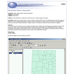
Description: Often times, the information you want to display or analyze within GIS is in two different places or formats. Often you will have a map of a standard area, like the counties in a state or the states of a country, and you will want to add external data to them so you can look at that external data in a spatial context. In this recipe we will look at how to join data to a shapefile. Scenario: Ever since the work of John Snow and his mapping of Cholera cases, mapping cases and frequencies of diseases can help to find sources and cures.