
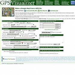
Google Maps de sortie. Other map forms: Google Earth KML/KMZ, Quantitative data This form will automatically draw your GPS data (or KML/KMZ file, or plain text data in CSV or tab-delimited format) overlaid upon street maps and satellite imagery in Google Maps.
Please note that creating a map with a very large number of waypoints (or very long tracklogs, especially if speed or altitude colorization is enabled) can cause your Web browser to grind to a halt. Randonnée pédestre avec un GPS. Logiciels de conversion GPS.
Trace GPS itineraires rando, VTT, running, cheval, montagne.