
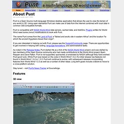
GeoTools - Home. Open Source GIS. Sourcepole - News. Hawaii Data Clearinghouse. Spatialnews and the geocommunity provides news, data, educational material about maps, digital mapping, gis,gps,cad, and location-based services (lbs) GeoCommons. "mazop's"-Free AddOns for World Wind. Home - Island Geographic llc. Links. Punt Homepage : Home. (last content update: april-11-2006) Punt is a Open Source multi-language Windows desktop application that allows the user to view the terrain of any world in 3D.
Using open standards Punt can make use of data from the Internet combined with local data in common GIS-compatible formats. Punt is compatible with NASA World Wind data servers, cached data, and AddOns. Plugins written for World Wind need some (minor) modifications to work with Punt. The name Punt comes from the Land of Punt, a "fabled and exotic site in eastern Africa" and the location "to which the ancient Egyptians traced their origin".