
Making Maps with D3. D3 is a JavaScript data visualization library using HTML, SVG and CSS.

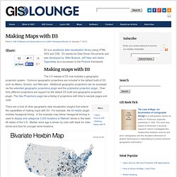
D3 stands for Data Driven Documents and was developed by Mike Bostock, Jeff Heer and Vadim Ogievetsky as a successor to the Protovis framework. Making maps with D3 The 3.0 release of D3 now includes a geographic projection system. Common geographic projections are included in the default build of D3 such as Albers, Gnomic, and Mercator.
QC. INSPIRE > WELCOME TO INSPIRE. INSPIRE geoportal. European Commission: CORDIS: FP7. OASIS - Open Advanced System for dISaster & emergency management. FIRE GLOBE: The Global Fire Monitoring Center (GFMC) SLA@SOI. GMES GMOSAIC. Home. OSMOSIS Project. What's ESDIN? Home - EuroGEOSS. eContentplus GS Soil. Overview – HUMBOLDT Project. Product Demonstration Video - Confluence.