
Part 1. A little over a year ago, I posted my wish list of features for a GPS that would be useful for navigating and recording information for field work.
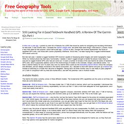
A few months later, I reviewed the Garmin Oregon 450t, and while there were things I liked about it, overall I found it less than ideal for that purpose. About half-a-year ago, I posted on why I thought that Android represented the future of handheld GPS units, over those with custom proprietary interfaces. Since then, I’ve been hoping that a rugged Android-based GPS would come out. But late last year, I needed a rugged handheld GPS receiver capable of displaying aerial imagery and raster topographic maps. While my Android phone has that basic functionality I needed, it wasn’t rugged enough to handle the abuse it was likely to see,and no rugged Android GPS units had yet come out. Available Models The Garmin 62 series currently comes in three different models. Hardware Basic unit Left: Garmin 60Cx; Right: Garmin 62s Screen display Battery life.
Part 2. Continuing on from Part I yesterday, today I’ll look at the interface on the Garmin 62s, and how it displays and handles maps.
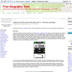
Interface I absolutely hated the touchscreen interface on the Oregon 450t I reviewed last year; doing even simple operations like creating a waypoint took multiple screen presses and changes. With the hardware buttons on the 62s, most of my objections no longer apply. A single button press can create a waypoint, and you can switch between different information screens (satellites, map, compass, trip info, waypoints, tracks) with just a few button pushes. Info screen order can be customized to show only a few screens, or all 24 available ones. And you can set up multiple profiles with different sets of info screens and other configurations (tones, interface, units, etc.). You can switch between different keyboards on the 62s with the buttons at lower left/right, or use the In/Out zoom buttons. Maps Vector Raster 1. 2. A. B. Map management 1. 2.
Part 3. This is part 3 of my review of the Garmin 62s GPS; part 1 is here, and part 2 here.
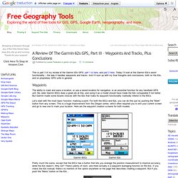
Today I’ll look at the Garmin 62s’s worst functionality – the way it handles waypoints and tracks. And I’ll sum up with my final thoughts and conclusions, both on the 62s, and on proprietary GPS units in general. Waypoints The ability to mark and save a location, or use a saved location for navigation, is an essential function for any handheld GPS unit. My older Garmin 60Cx does a great job at this, and using it as a model should have made the 62s comparable if not better. Let’s start with the most basic function: marking a point. Pretty much the same, except that the 60Cx has a button that lets you average the position measurement to improve accuracy, while the 62s doesn’t.
Bang – there’s the Averaging option, along with many other options, none of which are mentioned anywhere in the manual. You might notice that the waypoint icon in the 62s screen is an odd non-standard shape. Huh? One final idiocy.